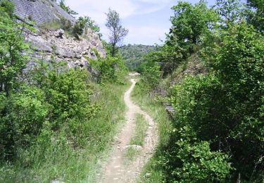
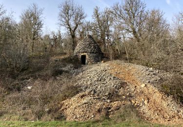
62 km | 81 km-effort
le payrat tunel
MANUEL QUESADA
Utilisateur
Longueur
6,2 km
Altitude max
271 m
Dénivelé positif
109 m
Km-Effort
7,7 km
Altitude min
194 m
Dénivelé négatif
108 m
Boucle
Oui
Date de création :
2021-12-23 10:11:43.175
Dernière modification :
2021-12-23 11:19:31.4
1h06
Difficulté : Facile
Application GPS de randonnée GRATUITE
À propos
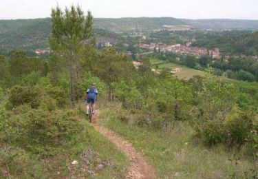
Randonnée Trail de 6,2 km à découvrir à Occitanie, Lot, Le Montat. Cette randonnée est proposée par MANUEL QUESADA.
Localisation
Pays :
France
Région :
Occitanie
Département/Province :
Lot
Commune :
Le Montat
Localité :
Unknown
Départ:(Dec)
Départ:(UTM)
377584 ; 4915475 (31T) N.
Commentaires
Randonnées à proximité
Raid Cahors La Rozière 2006
V.T.T.
Très difficile
Cahors,
Occitanie,
Lot,
France
59 km | 78 km-effort
4h 40min
Oui
Flaujac
Marche
Très facile
Flaujac-Poujols,
Occitanie,
Lot,
France
7,5 km | 10,1 km-effort
1h 48min
Oui
Cieurac Pauliac
Marche
Très facile
Cieurac,
Occitanie,
Lot,
France
12 km | 14,3 km-effort
2h 29min
Oui
De la Rozière à Labastide-Marnhac
V.T.T.
Moyen
Cahors,
Occitanie,
Lot,
France
17,2 km | 22 km-effort
1h 30min
Oui
De la Rozière à Labastide-Marnhac
Marche
Difficile
Cahors,
Occitanie,
Lot,
France
17,2 km | 22 km-effort
3h 30min
Oui